Elterwater (CP2)
Elterwater (CP2)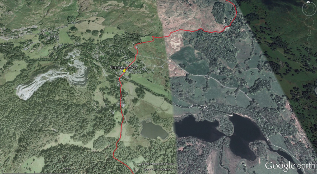
Britannia Inn
- Miles to go: 27.24
Over a third of the walk distance is complete at this point. The checkpoint is positioned outside the Britannia Inn.
- Toilets – at Checkpoint
- Drinks – at Checkpoint
- First Aid – at Checkpoint
- No support vehicles
Leave Elterwater heading southwards, towards Colwith. Then you'll follow the longest off-road section of the K2B route, via Stang End and Hodge Close, down to Yewdale.
- First Aid - Hodge Close
- Drinks - Hodge Close
- No support vehicles
Elterwater, Little Langdale, Tilberthwaite, and Hodge Close are closed to support vehicles, and this will be enforced by police.
Continue to the edge of Coniston village, where you'll leave the track and head down towards Shepherds Bridge Lane. Checkpoint 3, toilets and food for K2B walkers are at Coniston Primary School, on the right-hand side of the lane as you head down. After leaving Checkpoint 3, you'll continue southwards via Coniston Sports & Social Club, and then east towards Monk Coniston.
INTERESTING FACT: Elterwater village lies in the jaws of the Great Langdale valley. From the 1750's, the local green slate was in high demand. To service the quarries, a great deal of gunpowder was needed. For this reason, many juniper trees were planted in the area. Juniper wood makes excellent charcoal, a major base-ingredient of gunpowder.