Dunmail Raise northbound carriageway
- Miles to go: 33.08
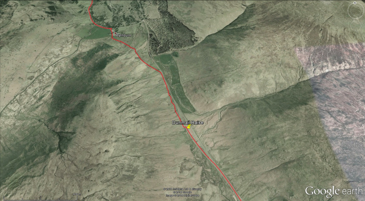
Dunmail Raise on the A591 is well known as an area that was badly affected by the December 2015 floods. It lies between the southern end of Thirlmere, and Grasmere village. The K2B walk route follows the cycleway from Steel End at the south end of Thirlmere, to the dual carriageway at Dunmail Raise.
- Support vehicle parking - at the roadside on Dunmail Raise
- Toilets - at Townhead Farm (1.4 miles south of Dunmail Raise)
This is where you have your first opportunity to meet your support vehicles. From here continue south along the A591 down Dunmail Raise, turning right at the first opportunity. Continue via Gill Foot and Goody Bridge to the quaint village of Grasmere. Turn right into the village square (Toilets) where marshals will guide you to the village car park.
INTERESTING FACT: A cairn at Dunmail Raise marks the spot of a great battle between the Norse king, Dunmail of Cumbria, and the Anglo-Saxon king, Edmund of Northumbria, in 945AD. Edmund's victory meant that the north-western area of Cumbria passed over to the Scots. The cairn also marks the boundary between the old counties of Cumberland and Westmorland.


